Last week, Commercial UAV News staff attended Geo Week, our sister event that serves the geospatial industry in many facets. The show floor was packed with exhibitors who are leading innovators in all things lidar, photogrammetry, remote sensing, mapping, and more. In recent years, adding an aerial element to these data capture technologies has been a game changer for the industry. While the idea of aerial geospatial operations by crewed aircraft is not novel, doing so with a drone is.
It was exciting to see so many drone companies support this effort and exhibit at the show, with their presence solidifying the collaboration between the geospatial and uncrewed aerial world. CUAV News caught up with a few of the drone companies on the exhibit hall floor to understand how exactly they are helping shape the geospatial industry of the future.
To carry out a high-quality mapping or inspection operation, every minute counts. With that in mind, drone companies came to Geo Week to showcase aircraft that have been redesigned to feature longer flight times, even with the heavy payloads required to do the job.
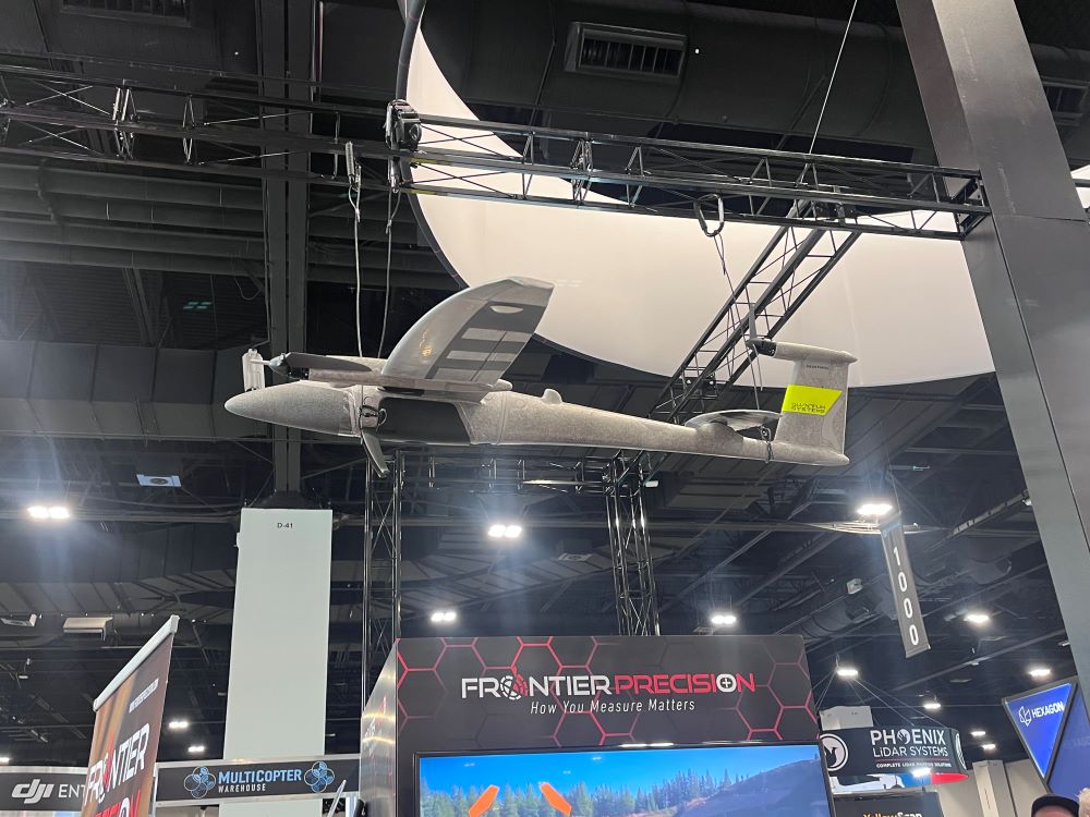
The push for endurance was a common theme across exhibiting companies. At Frontier Precision’s booth, regional sales manager Austin Rains pointed to a drone they distribute designed specifically for extended flights.
“The fixed winged drone, The Quantum-System Trinity Pro, is largely used in the oil and gas industry. These drones have a longer flight time of around and hour and are great for inspecting long gas lines,” explained Rains.
American drone manufacturer Arcsky presented a hybrid UAS model capable of staying airborne for up to two hours. The company is about to launch a smaller version of their flagship drone, the Xplorer, that is battery powered and has a flight time of an hour and a half, a significant margin for operators working large or remote sites.
Published on 2/28/2026